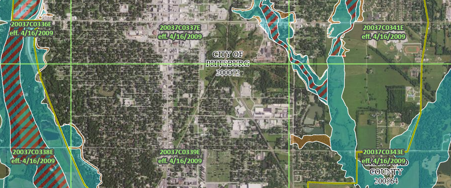

The Flood Insurance Rate Maps (FIRMs) and Flood Insurance Study (FIS) for some areas of Pittsburg are being updated to provide more accurate information regarding flood risk.
The Kansas Department of Agriculture – Division of Water Resources (DWR), in collaboration with the Federal Emergency Management Agency (FEMA) is working with local officials to conduct a community review. This project has been through multiple reviews and the draft floodplains are now ready for public input and review.
Property owners are invited to attend a public open house on Thursday, November 30, from 2:00 pm – 6:30 pm at Fire Station No. 1, 911 W. 4th St., Pittsburg, to review the proposed floodplain map or to have questions answered.
Officials from the DWR, engineering contractor WSP USA Environment & Infrastructure Inc., City of Pittsburg, and Crawford County will be available to answer questions and take comments. Computer workstations will be available to show property owners draft mapping as it pertains to their property.
For questions regarding this project, contact the City of Pittsburg Public Works & Utilities Department at (620) 240-5126.